


 Related

Experience Canada Like A Local: Insider Tips You Can’t Miss
BY Ankita Feb 7, 2024
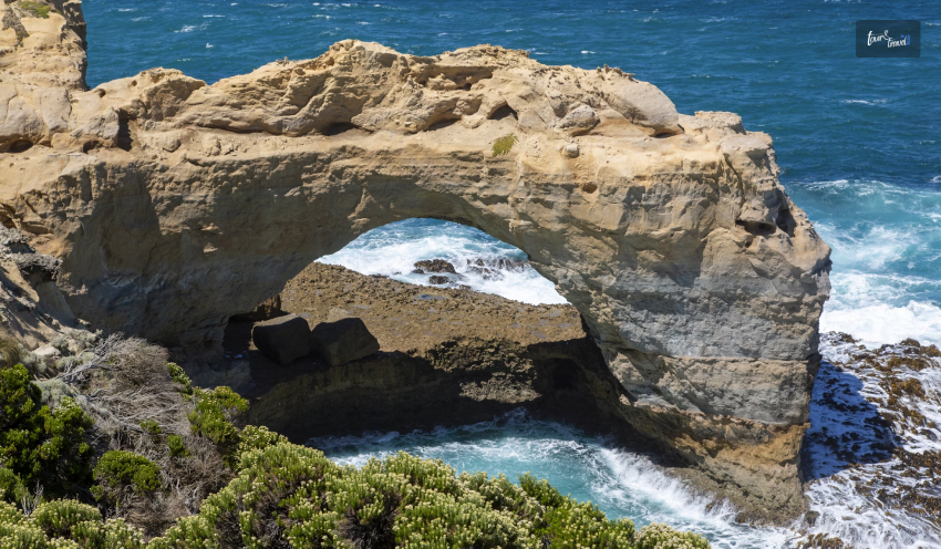
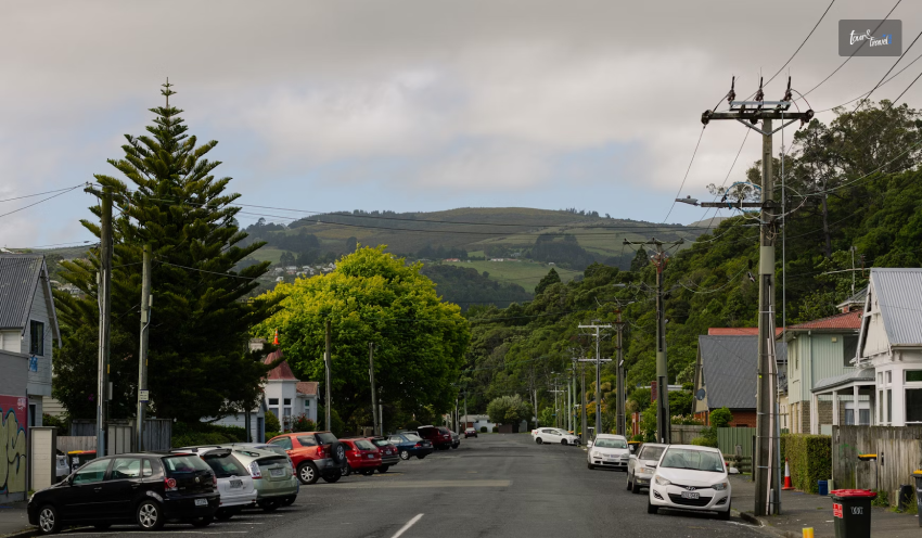
Are you dreaming of exploring Canada’s majestic mountains, vibrant cities, and charming small towns? Look no further! The country has so much to offer. But before you pack your bags and head off on an airplane, there are insider tips you can't miss. This guide is here to help you discover the real Canada beyond the famous tourist spots you see in pictures. Let's explore how you can truly experience Canada like a local. Explore Beyond the Cities While cities like Toronto, Vancouver, and Montreal are must-visits, Canada's true beauty lies in its vast wilderness. To truly discover the beauty, consider renting a car or taking a local bus to explore the scenic countryside, national parks, and charming small towns. Let's talk about these cities one by one: 1. Vancouver The city is known for its breathtaking landscapes and greenery. You can hike in the nearby mountains or stroll along the stunning Stanley Park Seawall, offering ocean views and lush forests. Vancouver Island is one of the best places in the world for whale watching. With its pristine waters, it is perfect for kayaking and canoeing. Also, it is home to an abundance of wildlife. Keep an eye out for bald eagles, black bears, seals, and sea lions. To enhance your experience of the Vancouver Island getaway and make it even more relaxing, consider planning your stay at a resort. You can enjoy various amenities and facilities like a swimming pool, Gym, business areas, and the town’s tasty cuisine. Also, you can avail of special offers if you book online and get an incredible experience of staying. 2. Toronto In Toronto, there are awesome adventures waiting for you. You can visit the famous CN Tower, where you'll get amazing views of the city. Or you can ride on a ferry to Toronto Islands. At the place, you'll find sandy beaches and the most beautiful skyline views. It's a great place to chill and have fun. It is also home to cool neighborhoods like Kensington Market, where you can explore colorful streets filled with unique shops and tasty food. Also, enjoy the walk along the waterfront at Harbourfront Centre, where you can enjoy live performances and art exhibitions. 3. Montreal In Montreal, you can dive right into the lively culture. One of the best parts is trying out yummy food in the busy markets. There are all sorts of delicious things to taste. You can also wander around Old Montreal, like stepping into the past with its cobblestone streets and charming buildings. The place is full of incredible art and music events so that you can catch some fantastic shows and exhibitions. And if you like outdoor fun, there are parks and green spaces to enjoy. Participate in Local Festivals Canada's calendar is packed with festivals celebrating everything from music and film to food and heritage. Participating in these events is a fantastic way to experience local culture and meet nationals. Join the vibrant festivities of the Calgary Stampede, where you can get in on the action and feel like a cowboy or cowgirl for a day. If you're into movies, the Toronto International Film Festival is the place to be. You can watch cool films and soak up the artsy vibe. It's a fantastic way to experience culture and make new friends while having a wonderful time. Uncover Hidden Gems Exploring hidden gems during your Canada adventure enhances your traveling experience. You can ask locals for tips on where to find hidden beaches, peaceful hiking trails, or cool hangout spots in town. Discover the charm of lesser-known neighborhoods, like the artistic alleys of Toronto's Kensington Market. The historic streets of Old Town Lunenburg in Nova Scotia often offer a more authentic and personal experience than the crowded tourist spots. Essential Tips for a Smooth Journey Understanding a few essentials can make your adventure more enjoyable: Weather: Canada's weather can be unpredictable. Pack layers to adapt to changing conditions, especially if you're exploring the great outdoors. Tickets: Book tickets online in advance to avoid long lines for attractions. You will even get special offers and discounts that save you money. Local Transport: Familiarize yourself with public transport options. Biking is also a popular way to explore Canadian cities. Currency: While credit and debit cards are widely accepted, having some Canadian dollars on hand is useful for smaller establishments or rural areas. Where Locals Eat To set the gastronomy in motion, check out Celebrity Chef Lynn Crawford’s Ruby Watchco in Leslieville. The menus change on a weekly basis with locally sourced ingredients. The servings are family-style, and they encourage you to stay back. Take their bait and hang out in this famous neighborhood that has sustained young, creative minds and families from across the city. Their spots, such as the restored Broadview Hotel, are meticulously chosen. You can choose to savor the city from The Rooftop Terrace, or you can check in to one of the grand 58 eclectic guest rooms. If you want to try a refreshing breakfast, check out Bonjour Brioche, where locals enjoy fresh pastries and lattes. All this so far covers a single neighborhood! Across the city, you will find different opportunities to munch on whatever you desire. If you are in the mood for tapas-style treats, you may hit the all-time staple Bar Raval. If you are craving nouveau Caribbean, check out Chubby’s Jamaican Kitchen. And at the end of it all if you are craving some dessert, the city’s favorite, Rosen’s Cinnamon Buns on College Street, will not disappoint. If you are into vegetarian options, your options are growing that way, too. One of the more refined options is Planta or even the more trendy new Vegandale chain of restaurants and breweries in Parkdale, which will leave you feeling super satisfied. Photo Spots Since its arrival in 2015, the Toronto Sign at Nathan Phillips Square has become a selfie spot for locals as well as tourists alike. Remember to take a peek at all the artwork or get a selfie in Graffiti Alley, but that is not all. There is The Falcon Skybar at Hotel X, the Kost rooftop bar perched on top of the 44th-floor of Bisha Hotel, and the Thompson Toronto’s Rooftop Lounge offer a spot to nibble and sip with some highly Instagrammable views. Final Thoughts Experiencing Canada like a local opens up a world of possibilities typical travel guides might overlook. It's about diving into the community, understanding their way of life, and discovering the country's soul. So, what are you waiting for? Pack your bags, and get ready to explore the country beyond the surface. Read Also: Winter Camping In Canada: Tips For Cold-Weather Adventures Guide To Exploring Whistler, Canada For A Memorable Getaway How To Enjoy Your Journey After You Book Flight Tickets From Canada To India?