


 Related

Annapurna Base Camp Vs. Ghorepani Poon Hill: Should You Go All The Way?
BY Sibashree Apr 2, 2026
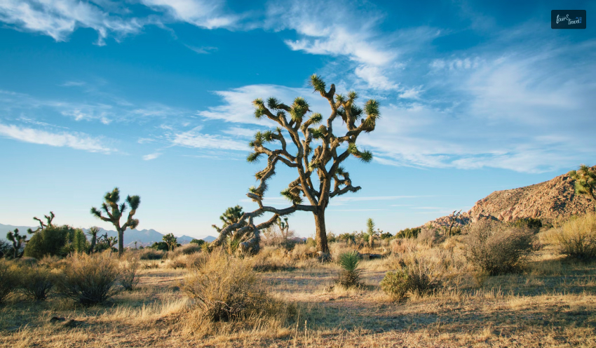
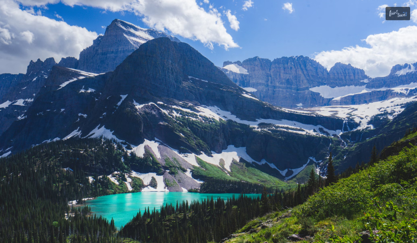
I remember staring at photos of the Himalayan sunrise and thinking, “I want to experience this.....but am I actually fit enough to try this adventure of reaching the base camp?” If you’re new to the trekking world, it is a very common question everyone asks themselves. And if I have learnt anything from my journey of trekking, I would say that this question is completely normal. Can you guess what else is pretty normal and inevitable? The Annapurna Base Camp vs Ghorepani Poon Hill Debate. The Annapurna region is widely regarded as one of the finest trekking destinations for beginners. I think one of the most prominent reasons is that it provides both short, easy hikes. Also, it gives a lot more immersive journey. But guess what the real dilemma was that I faced? Yes, it is Annapurna Base Camp vs. Ghorepani Poon Hill. It is the one I mentioned earlier. Basically, it is whether to choose something safe or quick, or push yourself even further. But I was sure of the fact that I was in for a deeper experience and connection. Both of these journeys offer very rewarding experiences. However, they provide very different levels of connection with the mountains. Firstly, a shorter trek gives you comfort and accessibility. On the other hand, a longer trek gives you immersion. Also, it gives you a stronger sense of achievement. The choice is not about which is better overall. Rather, it is more about how much time and effort it takes. Additionally, I also needed to assess the challenges I was willing to take on as a beginner. Annapurna Base Camp Vs. Ghorepani Poon Hill: Which One Is The Winner Here? To reach an end to this debate, we must analyse all the segments in detail. Ready for a tour? Let’s do this! 1. Poon Hill: The Teaser Experience My first image of Ghorepani Poon Hill was simple. But it was beautiful. Also, it was pretty efficient and suitable for first-time trekkers. This trek is usually short. Additionally, you can surely complete this in around 4 days. Firstly, it will take you through charming villages. In addition, you will get to see all the forests filled with peaceful vibes. Finally, you will arrive at the famous sunrise viewpoint. I remember when I was watching golden light hit peaks like Annapurna South and Dhaulagiri. Trust me, it is unforgettable. Also, I am sure you already know that it is one of the best treks in Nepal. If you want to complete the trek in a short period of time, or if you are unsure about your physical fitness, it is very comfortable. However, there is a clear disadvantage or limitation. You are viewing the mountains from the foothills rather than being surrounded by them. Therefore, this means the experience feels more like a scenic introduction than a full Himalayan journey. 2. Annapurna Base Camp: The Full Immersion The moment I entered the Annapurna Sanctuary, everything changed. Also, I would like to mention that the experience is nothing like Poon Hill. There, I could view the mountain from a distance. However, the Annapurna Base Camp trek takes you deep into the heart of the Himalayas. By the time you reach 4,130 meters, you are surrounded by towering peaks. So, this creates a powerful sense of presence. Also, I treat this as a natural amphitheater. Here, you will see mountains like Machhapuchhre rising dramatically around you. Therefore, this makes the experience more valuable and unreal. It is quieter, more impressive, and emotionally more rewarding, giving you a strong sense of achievement that goes far beyond just the views. 3. The Real Comparison: Difficulty & Fitness This is the part where most beginners start to hesitate. The main challenge of the Annapurna Base Camp Trek is not just the distance. But also the terrain, with long uphill and downhill sections and steep stone near Ulleri. Compared to the other gentler trails of Poon Hill, it requires more physical effort and endurance. On the other hand, the key to a successful trek is not speed but a constant pacing. You do not need to be highly athletic. You just need to walk consistently, taking breaks, and allowing your body to adjust. With proper acclimatization and hydration, the trek becomes more manageable, and many beginners complete it every year. 4. The Smart Shortcut: Heli Return Option One of the advantages that makes the Annapurna Base Camp trek more accessible is the Helicopter return. Instead of trekking all the way back down, you can directly fly from the base camp, saving time and reducing physical strain. This is especially useful for those who are concerned about fatigue or have limited time. This hybrid approach allows you to enjoy the full journey up while avoiding the most tiring part of the trek. For many first-timers, it removes the biggest obstacle of the trek and makes the overall trek more enjoyable, and the experience feels much more achievable. What I’d Recommend As A Beginner? If I have to point out which trekking destination is better for the beginner as a neutral, I would look at the choice of itinerary here. The biggest mistake that I have seen beginners make is choosing an itinerary that’s too rushed. I have seen my friends make many such plans where they tried to complete Annapurna Base Camp in about seven days. Guess what I saw next? These plans often led to exhaustion. Also, they had way less time to properly enjoy the journey. Therefore, I always prefer and suggest that you go for a slow itinerary of around ten days. This makes a significant difference. Additionally, it allows better acclimatization. Also, you will get a more comfortable pace. In fact, you will also be able to have a much more enjoyable overall experience, especially for first-time trekkers. Annapurna Base Camp Vs Ghorepani Poon Hill: Which One Wins? You see, when I was first planning my trip, my main goal was to simply see a Himalayan sunrise. So, if you too have the same goal, I would say Ghorepani Poon Hill is a great choice. To justify my claim, I would say that it is quick and scenic. Also, it is really beginner-friendly. Additionally, it offers a rewarding experience without requiring too much time. In fact, you will need the bare minimum physical effort. Now, let’s say you are willing to spend much more time in the Himalayas. Also, maybe you want to go a little further. Then I think the Annapurna Base Camp trek offers something far more immersive. Also, it is not just about the views. Rather, I believe it is more about the adventure and the challenge. In fact, I really think that the real goal is to have the feeling of standing in the heart of the Himalayas. Just looking at them from a distance cannot simply cut it. Read Also: From Himalayan Peaks to Cultural Experiences: The Ultimate Guide to Everest Base Camp and Manaslu Circuit Trek Best Time To Visit Himachal Pradesh – Himachal Pradesh Guide Top Reasons To Do Everest Trekking – Himalaya View Treks