


 Related

Sailing Into the Wild: Why a Trollfjord Cruise Is Norway’s Most Magical Fjord Experience
BY Barsha May 24, 2025
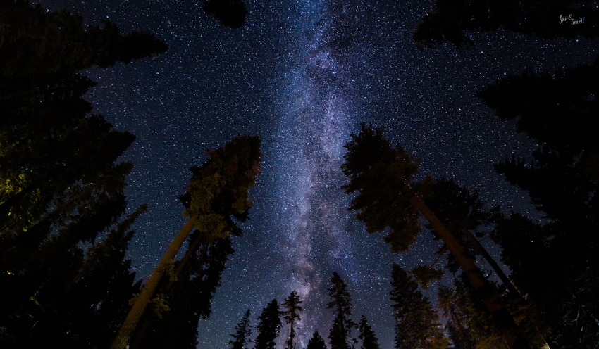
Just imagine you are out in the sea, cruising through the crystal clear waters with towering cliffs around you. And, you sailed to reach the most breathtakingly beautiful fjord in the world. Exciting, right? But, does this kind of place truly exist? Well, welcome to Trollfjord in Norway. One of the most beautiful and mystical fjords in the wilderness of Norway. Here, you will enjoy the natural essence of fjords with a cinematic view of the cliffs converging towards your sailing cruise. It is one of the most famous spots to experience fjord cruises in their purest form. For those planning a fjord tour that’s a bit off the tourist radar—but packed with jaw-dropping beauty and Arctic charm—a Trollfjord cruise in Norway should be at the very top of your itinerary. Why Cruise Norway’s Fjords? If you are wondering why you should cruise through Norway’s fjords? You will be awed to know about the beauty of the western coastline of Norway. It is carved into numerous sea inlets for you to cruise down. And, the coastline stretches to all the way from the city of Stavanger to the Arctic Circle. The best way to experience this extraordinary landscape is from the water. So, you need to take the Trollfjord cruise to navigate through these majestic cliffs. And thanks to Norway’s long summer days, the golden evening light stretches for hours. So, the cliffs are literally washed with the surrealistic glow of the long sunsets. Moreover, you get to enjoy the wildlife spots like puffins and porpoises to fully immerse yourself in the peaceful rhythm of Norway. The Secret Splendor of Trollfjord Trollfjord (or Trollfjorden) is a narrow fjord located in Northern Norway, nestled between the Vesterålen and Lofoten archipelagos. It stretches for around 2 kilometers. So, it is not one of the biggest fjords to explore. But the breathtaking beauty of the place balances the short stretch of it. Moreover, you can access the fjord only by using a boat to sail down, as the entrance is quite narrow. Around 100 meters wide, the entry leads to towering granite cliffs rising straight out of the glassy waters. Inside the fjord, you will see beautiful waterfalls and alpine peaks all around the place. Truly, the fjord offers a marvellous spectacle to nature lovers. Unlike more famous fjords like Geirangerfjord—which draw crowds and cruise liners—Trollfjord is remote, wild, and blissfully quiet. So, you can enjoy its tranquility while cruising. The Best Way to Experience Trollfjord? Go Small, Go Local One of the most important decisions you’ll make when planning a fjord tour is how you’ll see it. Large cruise ships are great for comfort and convenience—but they can’t get into Trollfjord. The narrow entrance and tight turning space make it accessible only to smaller, more agile vessels. For an unforgettable and sustainable experience, book with a small, eco-conscious operator like World Sea Explorers. Their Trollfjord tour is designed for travelers who want to get up close to nature—not just view it from a distant balcony. On a small ship, you’ll: Sail quietly through the fjord with fewer than 12 guests on board Get closer to waterfalls, wildlife, and cliffs Hear stories and local legends from expert guides Support sustainable tourism and low-impact exploration It’s a fjord cruise experience that feels personal, peaceful, and immersive—more like a nature retreat than a sightseeing tour. What You’ll See on a Trollfjord Cruise Each Trollfjord cruise is shaped by the weather, the wildlife, and the season, but here’s a taste of what you can expect: 🦅 Sea Eagles in Flight Trollfjord is famous for its population of white-tailed sea eagles, Europe’s largest birds of prey. These majestic raptors often glide close to the cliffs, circling boats and scanning the water for fish. 🐬 Marine Life Porpoises, seals, and even whales can be spotted in the fjord and surrounding waters—especially in early summer when marine activity peaks. 🌄 Towering Peaks and Waterfalls The granite cliffs on either side of the fjord are peppered with snowmelt-fed waterfalls. In summer, they cascade down like silver ribbons, especially after rain. 🌿 Pristine Silence One of the most powerful features of Trollfjord is the silence. With no road access and minimal boat traffic, the fjord has a serene, sacred quality that’s rare in today’s world. When to Go: Best Season for a Trollfjord Tour Although the place is beautiful throughout the year, there is a specific seasonal time when you can best enjoy the place. During the months of May to September, Trollfjord has the longest summer days. So, you get to enjoy the mild weather and long hours of daylight while cruising or sightseeing the wilderness around. Moreover, if you are visiting around the months of June and July, you will get to experience the most awesome sunsets. With the midnight sun, you can enjoy the evening golden hours to relax or sail through the fjords. However, in August, the weather becomes slightly cooler. So, it is perfect for enjoying the cool sea breeze while cruising through the marine life. Also, you get to check the migratory birds and whales around the place. But if you want to truly immerse yourself in an offbeat location with few tourists and beautiful natural landscapes, try visiting during September. Amidst the autumn weather, you can enjoy the beautiful mornings and a hint of winter’s arrival in the air. Some tours also operate in the winter months, combining a fjord cruise with Northern Lights chasing. While Trollfjord may be harder to reach in icy conditions, you can cruise through the surrounding waters to see the Arctic starry skies. What to Pack Whether you’re visiting in summer or winter, dress in layers and prepare for rapidly changing weather. A waterproof jacket, warm base layers, and good shoes are essential. Don’t forget: A camera with a zoom lens (for eagles!) Binoculars Reusable water bottle and snacks Gloves, hat, and scarf even in summer—it gets breezy on the water Extend Your Adventure in Lofoten & Vesterålen If you’re traveling this far north, you’ll want to spend a few extra days exploring the surrounding region. The Lofoten Islands are postcard-perfect: colorful fishing villages, dramatic peaks, white-sand beaches, and cozy rorbuer (traditional fisherman cabins) you can sleep in. Vesterålen, just north of Lofoten, is quieter but equally stunning. It’s one of Norway’s best areas for hiking, kayaking, and whale watching. You can also explore Sami culture and taste traditional Arctic cuisine in this lesser-traveled region. Why Trollfjord Should Top Your Norway List If you are a traveler who loves experiencing unique and breathtaking nature, Trollfjord should be on your next trip plan. From the wilderness to the natural serenity, it offers you everything you need right in one place. It’s raw, powerful, and deeply moving—and the feeling cannot be replicated in any other place. By choosing a Trollfjord cruise in Norway with a small-ship operator, you’re getting more than just a photo dump. In a way, you’re immersing yourself in one of Norway’s most magical places. With the locals and the beautiful nature around, you are guaranteed to love the land, sea, and everything in between. With the craze of travelling for Instagram views, most of the tourist spots have become crowded. So, choose Trollfjord in Norway to immerse yourself in an offbeat trip to nature! Up Next.. Here is a List of Best River Cruises in Europe! These Best Places To Travel In Europe Are Amazing In Winter Chartering a Yacht in Norway: Your Ultimate Guide to an Unforgettable Adventure