


 Related
Ultimate Guide to Stress-Free Holiday Travel
BY Sibashree Mar 22, 2025
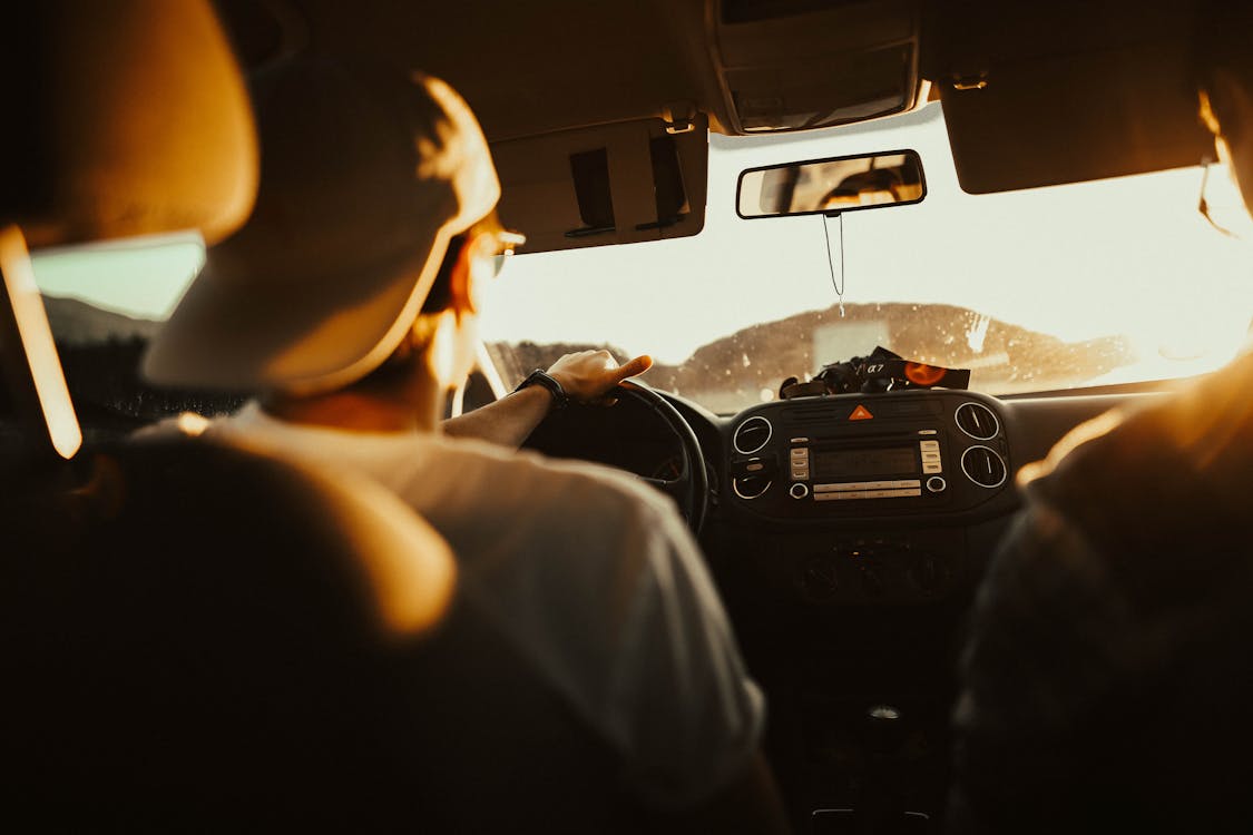
The holiday season is around the corner, and we’re already planning holidays. If you are heading to your family, going on a holiday, or elsewhere, pre-booking will help you make the journey easier and more enjoyable. This is the full guide on assisting you with holiday travel, including expert tips and practical advice for preparing for holidays easily. 1. Prepare in Advance for an Easy Journey The sooner you book, the more likely you will get what you want. When traveling, it is best to go during holidays and reserve rooms and seats in advance. Don’t leave it late; arrange transportation and accommodation ahead of time. Put together tickets, accommodation, and transport on a list. Be sure to look at the weather forecast in your destination to be able to pack suitably. You do not want to be caught in a snowstorm or heatwave with the wrong equipment! 2. Intelligent Holiday Travel Budgeting Holiday travel costs can easily exceed budget, especially during peak holiday seasons. Setting a realistic budget when making holiday plans will prevent overspending. Budget your expenses under allocations to pay for your airfare, accommodations, travel, restaurants, tour fare, and shopping. Utilize discounts online, compare prices, and hostels, Airbnb, or travel off-season. No need; forward reservation can also assist. It’s also smart to have some ready money for emergencies such as tips or impulsive shopping. 3. Pack Smart and Light Intelligent packing will save the day and avoid inconvenience. Pack only the necessities and try to keep it light. Use multi-functional clothing that you can interchange to reduce the amount of clothing to carry. Don’t spare any space in your luggage to purchase souvenirs or new clothes during travel. Don’t exceed your baggage allowance limits so that you can have additional charges to pay at the airport. If your journey is short, a carry-on flight would do. A physician’s kit containing medicine, a first aid kit, and photocopies of the documents that will be needed should be kept handy in case of an accident. 4. Travel with Pets If a pet is being taken along on a holiday vacation, find out if your hotel is pet-friendly and look up the travel rules in advance. Some airlines and other carriers also require health certificates for pets, so have your vet issue one. Be prepared by bringing along the basics, such as pet food, water, a leash, toys, and medication if prescribed. When traveling, consider your pets' safety and comfort as well. Plan in advance for pet care requirements. 5. Insure Yourself with Travel Insurance Unexpected events like flight delays, lost luggage, or illness can spoil your tour and leave you stranded. Travel insurance helps by giving you confidence through reimbursement of unexpected costs. Depending on your holiday, you can decide to buy an upgraded policy that includes trip cancellation, illness, or even flight delay. Make sure to read the cover details before buying so that it will be worth it. 6. Create a Flexible Schedule Planning never hurts, but flexibility is the key to enhancing your holiday experience. See where you are required to go, check their opening time, and write down their holiday hours. Adopt a flexible approach in the event your arrangements are foiled or in case you wish to insert unplanned encounters on your path. The holiday season means large numbers of people, and flexibility will avoid getting agitated if matters fail as expected. 7. Travel Checklist Ensure you have all the documents and essentials with you before you go out to your destination. A list of essentials is as follows: • Genuine travel documents (passport, visas, etc.) • Cash and debit/credit cards (both are recommended) • Travel insurance information • Medication prescribed and first aid kits • Phone chargers for electronic devices and adapters • Rain or weather-specific footwear and clothing • Toilet and personal items 8. Protect Your Belongings It’s always exciting to travel to a new place, but protecting your belongings is equally important. Stealing and pickpocketing can occur anywhere, particularly in crowded places such as airports or sightseeing sites. Store your valuables in a money pouch or safe belt, and don’t carry all your money or cards at the same time. It is also wise to have photocopies or digital copies of important documents (such as your passport, travel insurance, and emergency contacts) just in case they are stolen or lost. 9. Be Frugal with Your Holiday Money Over-spending on your holiday can cause anxiety once the holiday season is over. To prevent this, keep track of your spending once in a while on holiday. Have a budget for everyday activities and meals and prioritize substances over goods when spending. If you tend to mindless shopping, place restrictions before eating out or shopping beforehand. The most memorable aspects of your vacation are likely the experiences, not the trinkets! 10. Foreign Currency Exchange & Financial Planning If you are traveling abroad, it’s convenient to get used to the foreign currency and exchange rate. Don’t exchange a large amount of money at the airport, where they offer less favorable exchange rates. Rather, use local ATMs and withdraw your money when you arrive. It is also advisable to notify your bank of your travel so you won’t have any issues transacting on foreign grounds. Finally, for added convenience, bring a credit card with no foreign transaction fee. 11. Stay Connected for Safety & Convenience You will require a functional phone or device to communicate with others and utilize in emergencies on the road. If you are traveling abroad, buy an international SIM card or international data plan so that you can call. Also, let a trustworthy friend or relative know your travel plans so that they can trace you. This is an extra precaution and convenient in the event that you need help on the road. Final Words! Vacation travel, if well planned, can be smooth sailing and hassle-free. Whether you are a frugal traveler, security-aware adventurer, culture-aware traveler, or packing expert and one. Like any of them, the following is the best advice for hassle-free and successful travel. Considering all this, you should remember that quality planning will ensure that you’re carefree during travel. Safe and happy holidays!