


 Related

Show-Me: Discovering Missouri’s Hidden Gems
BY Arnab Oct 14, 2023
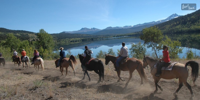
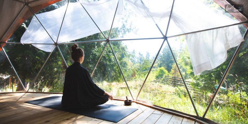
Welcome to Missouri, the Show-Me State! Often overshadowed by its more well-known neighbors, Missouri is home to an impressive array of hidden gems and lesser-known attractions. It offers unforgettable experiences for both tourists and locals. In this guide, we'll uncover some of the state's unique destinations that even many locals may not be aware of. So get out your maps and cameras, and let's start exploring! As you explore these hidden gems in Missouri, remember to stay updated on traffic rules and regulations. If you find yourself dealing with Missouri traffic tickets, then familiarize yourself with the local laws and seek professional assistance. Drive safe and have a great time exploring the Show-Me State! City Museum The City Museum in St. Louis invites visitors to crawl, climb, and slide their way through an architectural labyrinth. It was created from repurposed urban and industrial objects. Converted from a former shoe factory, the museum features attractions like a 10-story spiral slide, a rooftop Ferris wheel, and MonstroCity, an outdoor space with multiple interconnected metal climbing structures. Meramec Caverns Located in Stanton, Missouri, Meramec Caverns is a breathtaking underground wonder. A vast system of limestone caves stretches over 4.5 miles, making it the largest commercial cave in Missouri. Inside, you'll find spectacular stalactite and stalagmite formations, as well as a unique wine table formation that took millions of years to form. The cave also played a vital role in the Underground Railroad movement and is believed to be a hideout used by the infamous outlaw Jesse James. The World's Largest Rocker Who wouldn't want to snap a photo with the World's Largest Rocker? Sitting at a whopping 42 feet, 4 inches tall, this gargantuan rocking chair can be found in the small town of Fanning, Missouri. Don't just stop for the photo-op, though. Stick around and enjoy the small-town charm and nearby attractions, such as the Fanning 66 Outpost, home to the eclectic Route 66 Red Rocker. Graham Cave State Park Delve into history at Graham Cave State Park, where ancient Native American tribes once sought shelter within the cave's depths. The 6,000-year-old structures and artifacts found within the cave make it one of North America's most significant archaeological sites. In addition to exploring the cave, the park offers hiking trails, picnic areas, and fishing opportunities on the Loutre River. Elephant Rocks State Park Located near Graniteville in the St. Francois Mountains, Elephant Rocks State Park features giant granite boulders that resemble a herd of elephants. This unusual geological formation offers visitors a one-of-a-kind hiking experience. The park also showcases Missouri's intriguing mining history and offers a playground for children and a picnic area for a relaxing family outing. The Jesse James Wax Museum Following the theme of Missouri's deep connection to the outlaw Jesse James, the Jesse James Wax Museum in Stanton presents a unique collection of lifelike wax figures depicting key moments in the life of the legendary figure. The museum also poses an intriguing question: Was it really Jesse who died in 1882, or is there a different story to be told? Discover the evidence and decide for yourself. The Missouri Botanical Garden With 79 acres of beautifully maintained gardens, the Missouri Botanical Garden in St. Louis is an oasis for plant enthusiasts and nature lovers. Discover rare and endangered plants, walk through themed gardens, and admire the historic architecture of the Climatron, the world's first geodesic dome greenhouse. Seasonal events and festivals make the garden an ever-changing and vibrant destination. The Saint Louis Loop Trolley Take a ride back in time on the Saint Louis Loop Trolley. This vintage electric trolley system connects St. Louis City with University City, passing through the historic Delmar Loop entertainment district. Hop on and off as you please, visiting art galleries, restaurants, and live music venues along the way. Missouri State Penitentiary Experience the eerie and fascinating history of the Missouri State Penitentiary in Jefferson City. This decommissioned prison, which operated from 1836 to 2004, offers guided tours that delve into its dark past. Learn about infamous inmates, daring escapes, and the penitentiary's role in Missouri's justice system. Ghost tours are also available for thrill-seekers looking for a paranormal experience. With the inclusion of specialized ghost hunting equipment, such as electromagnetic field (EMF) meters, infrared thermometers, and digital voice recorders, participants can actively engage in the quest for otherworldly encounters. Big Cedar Lodge Nestled in the Ozark Mountains, Big Cedar Lodge near Ridgedale is a luxurious and serene destination for relaxation, adventure, and outdoor pursuits. With exceptional accommodations, a world-class spa, and an array of activities like golfing, fishing, and horseback riding, it's a perfect retreat for those seeking an unforgettable getaway in Missouri's scenic wilderness. Conclusion Missouri's hidden gems offer a wide range of unique, unforgettable experiences for everyone. Whether you're interested in nature, history, or simply unique attractions, you're bound to have an amazing time exploring these lesser-known sites. So get your friends and family, and set out on a Show-Me State adventure like no other. If you have thoughts to share or questions to ask, then please leave a comment below. We would love to hear from you. Read Also: Top 12 Montana National Parks You Must Visit In 2023! 10 Best Places To Travel In April – Travel Guide 2022