


 Related
Essential Safety Supplies To Pack On Your Backpacking Trip
BY Nabamita Feb 3, 2024
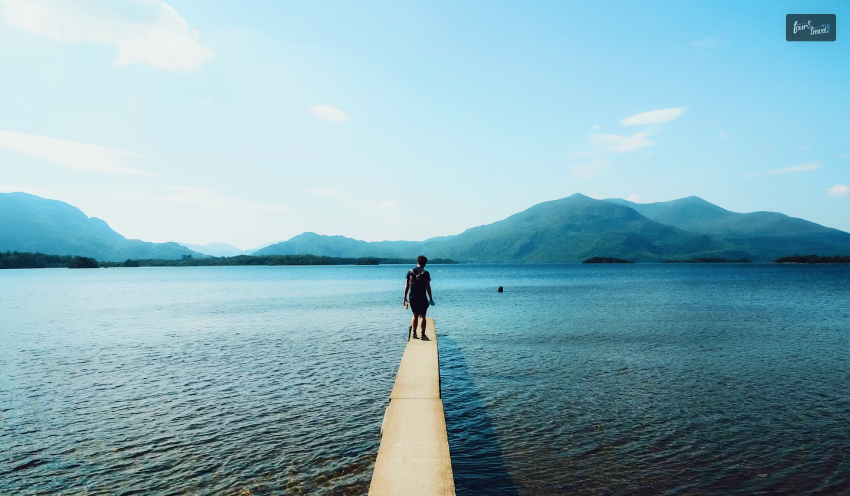
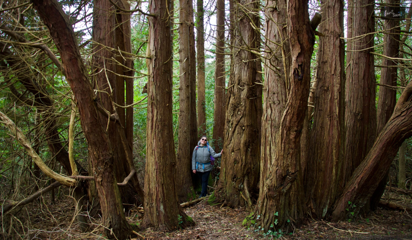
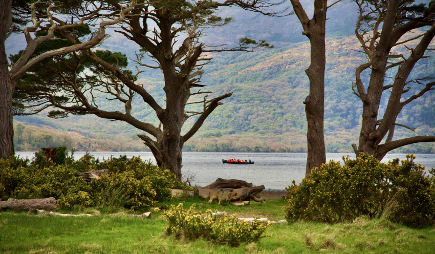
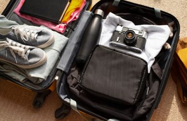
Embarking on a backpacking trip can be an exhilarating experience, immersing yourself in nature's beauty and embracing the wilderness. However, safety should always remain a top priority amidst the excitement of exploration. Whether you're a seasoned backpacker or a novice venturing into the great outdoors, the injury lawyers in Chicago note that packing the right safety supplies for any situation can make all the difference in ensuring a smooth and secure journey. If you are wondering what the essentials that should be in your travel backpack are, we have you covered! Here's a comprehensive guide to essential safety supplies that should be in your backpack before hitting the trails. Backpacking TripPack Rightly: Things You Must Include In Your Backpacking Trip Ready to explore the sky-pointing peaks? Make sure to pack all the essential items, or you can ruin your entire journey. Given below are a few essential things you must never forget on your travel backpack. Check them out: First Aid Kit A well-stocked first aid kit is non-negotiable for any backpacking excursion. It should include bandages, adhesive tape, gauze pads, antiseptic wipes, tweezers, scissors, pain relievers, blister treatment, and any personal medications you may need. It is recommended that your kit be based on the length and location of your trip, ensuring you're prepared to handle common injuries and ailments that may arise on the trail. Navigation Tools Getting lost in the wilderness can quickly turn a thrilling adventure into a nightmare. Always carry reliable navigation tools such as a map, compass, or GPS device, and make sure you know how to use them effectively. Familiarize yourself with the terrain and plan your route to minimize the risk of getting off track. Emergency Shelter Unforeseen circumstances like sudden changes in weather or unexpected delays can leave you stranded outdoors. Pack lightweight emergency shelter options such as a tent footprint, emergency bivvy, or space blanket to provide protection from the elements and retain body heat in case you need to spend an unexpected night in the wilderness. Fire Starter Kit Fire can be a lifesaving resource in survival situations, providing warmth, light, and a means to cook food. Pack waterproof matches, a lighter, or a fire starter tool to ensure you can easily ignite a flame even in damp conditions. Additionally, carry some fire accelerants like cotton balls soaked in petroleum jelly for reliable fire starting. Water Purification System Access to clean water is vital for staying hydrated and healthy during your backpacking trip. Invest in a reliable water purification system such as a portable water filter, water purification tablets, or a UV water purifier to treat water from natural sources like streams and lakes safely. Avoid drinking untreated water to prevent waterborne illnesses. Multi-Tool A multi-tool is a versatile gadget that combines several essential tools into one compact package. Opt for a quality multi-tool that includes features like a knife, scissors, screwdriver, pliers, and bottle opener. Products like the Microtech Ultratech knives can come in handy for various tasks, from preparing food to hard use. Therefore, these qualities automatically make such a tool an indispensable item for any backpacker. Emergency Communication Device In remote wilderness areas, cell phone reception may need to be more reliable and present, making it challenging to call for help in case of an emergency. Carry an emergency communication device such as a satellite phone, personal locator beacon (PLB), or two-way radio to summon assistance if you encounter a serious injury or other life-threatening situations. Sun Protection For Your Backpacking Trip Exposure to the sun's harmful rays can lead to sunburn, heat exhaustion, and dehydration, particularly at higher altitudes. Do not forget to carry some essential sun protection products like sunscreen that carries a high SPF rating, sunglasses with UV protection, a broadly-brimmed hat, and lightweight clothing that covers your skin to shield yourself from the sun's intense glare. Insect Repellent Insect bites and stings can not only be irritating but also carry the risk of transmitting diseases such as Lyme disease or West Nile virus. Apply insect repellent containing DEET or picaridin to exposed skin and clothing to ward off mosquitoes, ticks, flies, and other pesky bugs that inhabit outdoor environments. Emergency Whistle In situations where verbal communication may be difficult or impossible, an emergency whistle can serve as a simple yet effective signaling device to attract attention and alert others to your presence. Keep it easily accessible on your backpack or person, and use short bursts to signal for help if needed. Read Also: The Ultimate Guide To Hassle-Free Sightseeing In Rome How To Choose The Right Backpack For Your Trip? When it comes to choosing the right backpacking trip, two things have to be considered. First is its fit, and second is its volume. I know you got the least idea when I said this. That’s why here is a brief idea about how to pick the right backpack: Fit As functional as a backpack should be, it must be comfortable, too. And it all begins with a proper fit. Various packs come in either two or three sizes, thus indicating the pack’s length. Do not forget to visit your local store and enquire about the different fit they are providing. Volume Secondly, your backpack’s volume should be large enough so that it can hold everything you carry. However, don’t buy something extravagant and carry unnecessary weight. Backpacking carryons are usually measured in terms of liters, so be sure to pack something only in the range of 40-70 liters. Parting Thoughts While the allure of the wilderness beckons with its promise of adventure and exploration, it's essential to prioritize safety when venturing into the great outdoors. By packing these essential safety supplies on your backpacking trip, you'll be better prepared to handle emergencies, navigate challenging terrain, and enjoy a memorable outdoor experience with peace of mind. Remember, preparation is key, so take the time to plan and pack accordingly before setting out on your next backpacking adventure. That was all about packing the important supplies for your backpacking trip and ensuring a seamless journey. Comment your thoughts below and tell us what you think about it. Thank you for reading! Read More: How to Choose A Backpack 10 Best Places To Visit In Europe Top 3-Week Itineraries For A Perfect Tour Of Europe